Thinking about moving up on Bozeman’s South Side but not sure which neighborhood fits your life best? You want more space and a great yard, yet you also care about trails, errands, and a reasonable commute. This guide breaks down the South Side into clear micro-areas so you can compare housing, outdoor access, transportation, and amenities with confidence. You will also get a simple worksheet and saved-search tips to make your search faster and more focused. Let’s dive in.
How to compare South Side areas
Choosing between South Side neighborhoods gets easier when you evaluate the same factors in each area:
- Housing stock and lots: home styles, typical year built, lot sizes, HOA presence, and whether new construction exists alongside resale homes. Use the Gallatin County GIS parcel viewer to understand lot sizes and property classes.
- Trails and parks: walking or rolling distance to multi-use trails and major parks, plus proximity to foothill trailheads and river corridors. Review the City of Bozeman Parks & Recreation maps and the Gallatin Valley Land Trust trail network for context.
- Commute and transportation: drive times to downtown, MSU, Bozeman Health, and I‑90, along with public transit options and bikeways. Check planning resources and traffic trends through the Montana Department of Transportation.
- Everyday amenities: proximity to grocery stores, coffee, retail clusters, and urgent care. Confirm medical access via Bozeman Health locations and services.
- Development and zoning: planned subdivisions, road projects, and policy changes can shape future traffic and character. Track updates through City of Bozeman planning materials.
- Market context: inventory levels and time on market vary by micro-area. Your MLS feed is the best day-of source for up-to-date numbers.
Use the sections below to understand the trade-offs across five practical South Side micro-areas.
South Side micro-areas overview
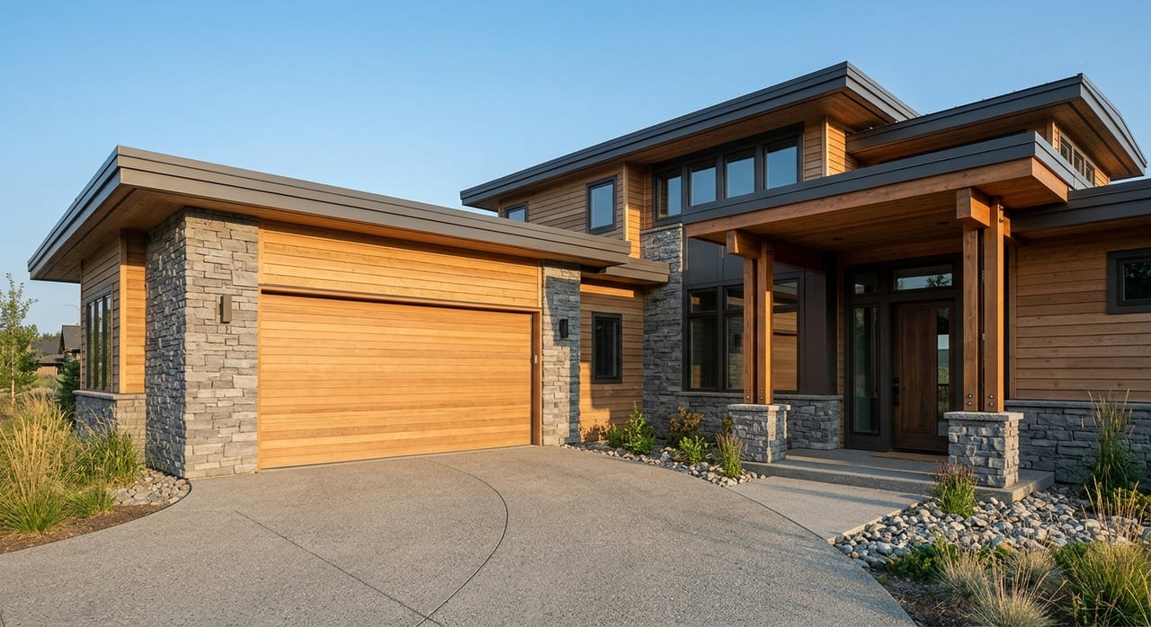
Near-Downtown South (Inner South)
If you want the shortest connection to downtown dining, events, and the historic core, focus on the blocks just south of Main. You will see a mix of older homes and newer infill on smaller lots, plus sidewalks that make quick trips easier.
Pros
- Short bike or walk to downtown shops and restaurants.
- Frequent sidewalks and gridded streets that offer multiple route choices.
- Mix of architectural styles, including updated infill.
Considerations
- Smaller yards compared to outer South Side subdivisions.
- Infill activity can add daytime construction and changing streetscapes.
- On-street parking and closer lot spacing may affect privacy.
Quick checks
- Trail access: review City of Bozeman Parks & Recreation maps to confirm nearby park connections on your specific blocks: City of Bozeman
- Commute patterns and main corridors: see regional information from Montana Department of Transportation
- Medical access: confirm distances to Bozeman Health facilities: Bozeman Health
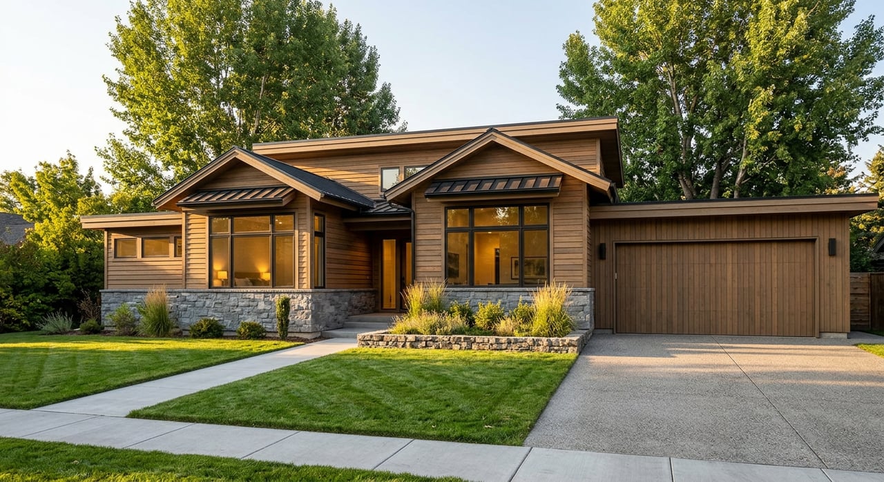
South Suburban Subdivisions
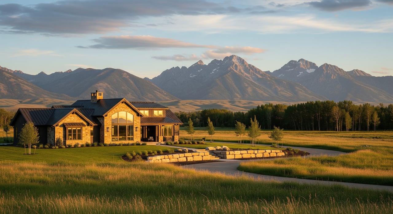
These newer or recently built-out subdivisions sit farther south with medium to larger lots, multi-car garages, and neighborhood green spaces. If you want more indoor and outdoor space and a quieter street layout, this is where you look.
Pros
- Larger homes and yards compared to inner South.
- Cul-de-sac and loop street plans reduce through traffic.
- Newer construction may offer energy and maintenance advantages.
Considerations
- Longer drive or ride to downtown and MSU.
- HOAs and covenants may guide exterior changes and parking.
- Limited corner retail within the subdivision, so plan on short drives for errands.
Quick checks
- Lot size verification: use the Gallatin County GIS parcel viewer and compare lot dimensions.
- Trails and parks: check neighborhood park links and regional routes on City of Bozeman resources.
- Transit options: see routes and frequencies through Streamline Transit.
Southeast River and Bridger-Edge
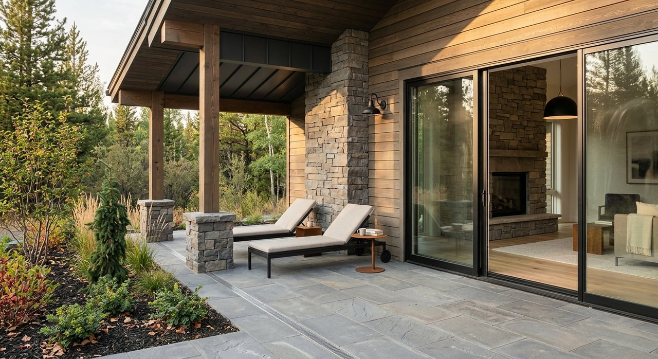
Closer to river corridors and the foothills, this micro-area appeals if daily outdoor access is high on your list. You will find a mix of lot sizes, scenic corridors, and quick transitions from neighborhood streets to trailheads and open space.
Pros
- Strong proximity to trail systems and natural areas.
- Potential for larger or more varied lots.
- Scenic routes for cycling and running.
Considerations
- Fewer big-box retail options nearby, which can lengthen errand time.
- Some roads carry recreational traffic on weekends.
- Seasonal variability in trail conditions, especially in winter.
Quick checks
- Trailheads and easements: explore the network via Gallatin Valley Land Trust.
- Seasonal access and snow maintenance: confirm with City of Bozeman trail updates on City of Bozeman.
- Travel-time variability: monitor regional patterns with Montana Department of Transportation.
South Commercial and Mixed-Use Corridor
Near major retail corridors, medical services, and business parks, this micro-area trades yard size for convenience. Sidewalks and bikeable arterials make errands efficient, and you can reach services quickly without crossing town.
Pros
- Very short errand times to groceries, services, and healthcare.
- Sidewalk and transit access on key streets.
- Potential for townhomes or attached options.
Considerations
- More traffic and commercial activity nearby.
- Fewer large lots and less backyard privacy.
- Urban noise and lighting compared to deeper residential pockets.
Quick checks
- Transit and bike corridors: review the system map at Streamline Transit.
- Healthcare access: look up nearby clinics and urgent care on Bozeman Health.
- Zoning context and mixed-use planning: see updates through City of Bozeman.
Transitional and Infill Pockets
These are areas where older homes are being replaced or joined by modern single-family homes, duplexes, or townhomes. Buyers often consider these pockets for design variety and potential long-term upside.
Pros
- Fresh construction and remodeled options appear regularly.
- Potential value growth as streets improve and projects complete.
- Opportunities for attached or accessory units, subject to local rules.
Considerations
- Active construction can bring noise and equipment during work hours.
- Evolving character, which not everyone prefers.
- Parking and traffic patterns may change over time.
Quick checks
- Building permit activity and current cases: follow planning materials via City of Bozeman.
- Lot and structure types: verify on the Gallatin County GIS parcel viewer.
- Market tempo: rely on your MLS feed for new listings and time-on-market trends.
Commute, trails, and amenities: what to expect
- Commutes: Peak-hour drive times vary by season and construction activity. Check live conditions and regional plans through the Montana Department of Transportation before you tour.
- Trails and parks: Use the City of Bozeman Parks & Recreation maps and the Gallatin Valley Land Trust to locate trailheads, paved paths, and connections between micro-areas.
- Healthcare and services: Confirm distances and service types using Bozeman Health. For groceries and retail, scan business listings and plan typical errand loops from your short list of homes.
Build smart saved searches
Dial in your MLS filters so new listings that actually fit your life reach you first.
- Map polygons: draw your own micro-area polygons instead of relying on neighborhood name fields. Use anchors like downtown, major arterials, the river, and foothills.
- Must-have filters: price band, bed and bath count, minimum square footage, lot size thresholds, property type, and year built. Add relevant keywords such as ADU, shop, or office.
- Multiple searches: save one search for ready-now homes and another for new construction or coming soon if available.
- Naming: use clear names like “South Side — Near Downtown” or “South Side — River Edge” so you can compare alerts at a glance.
- Alert cadence: set instant alerts for your top two searches and a daily digest for broader options. Share the alerts with your broker so tours are coordinated quickly.
Your decision worksheet
Print this checklist, bring it to showings, and score each micro-area on a 1 to 5 scale where 1 is least fit and 5 is best fit. Add your own weights so the categories that matter most count more in your final decision.
- Housing fit
- Home size options: 1–5
- Lot size fit: 1–5
- Architectural style fit: 1–5
- New construction available: Y/N
- Lifestyle and outdoor access
- Daily trail or park access: 1–5
- Proximity to foothills or river: 1–5
- Walkability to coffee or groceries: 1–5
- Commute and transport
- Drive time to downtown: minutes
- Peak-hour commute score: 1–5
- Transit availability: 1–5
- Amenities and services
- Grocery and retail convenience: 1–5
- Medical access: 1–5
- Childcare and community services: 1–5
- Future and predictability
- Development pressure level: 1–5, where 1 indicates heavy change
- Traffic or noise level: 1–5
- Overall subjective rating: 1–5
- Notes and red flags: zoning, HOA, floodplain, utilities
- Priority weights: assign percentages to each category that sum to 100
Scoring method: average the sub-scores inside each category, multiply by your weight for that category, and add up all weighted scores. The highest total points to your best-fit micro-area. When you narrow to two finalists, rerun the scores with slightly different weights to test your confidence.
For verification as you score:
- Parcels and lot dimensions: Gallatin County GIS parcel viewer
- Trails, parks, and seasonal access notes: City of Bozeman and Gallatin Valley Land Trust
- Commute checks and construction alerts: Montana Department of Transportation
- Healthcare proximity: Bozeman Health
- Broader housing context and commuting patterns: U.S. Census Bureau
Next steps
If you are torn between two South Side micro-areas, the right next step is targeted touring with live market data. Bozeman Realty pairs an MLS-synced search with on-the-ground perspective so you can read lot lines, check traffic at peak hours, and confirm trail access before you write an offer. We can build custom polygons, set instant alerts, and prepare a concise report for each micro-area you are considering.
Ready to compare neighborhoods and see what fits your life now? Visit Bozeman Realty to search listings or schedule a personal consultation with Jon.
FAQs
What defines Bozeman’s South Side micro-areas?
- Clear anchors like downtown, major arterials, the river, and foothills create simple, repeatable map polygons that group similar housing, access, and amenity patterns.
How can I verify lot size and property details before touring?
- Use the Gallatin County GIS parcel viewer to confirm lot dimensions, parcel lines, and basic property classifications.
Where can I check trail and park connections near a home?
- Review City of Bozeman Parks & Recreation maps and cross-reference with the Gallatin Valley Land Trust for regional trailheads and easements.
How do I estimate commute times on the South Side?
- Check live or typical conditions through the Montana Department of Transportation and note peak versus off-peak differences when you schedule showings.
What if a neighborhood is seeing new construction or infill?
- Look up current permits and planning cases through City of Bozeman resources, then consider construction timing, traffic routing, and any future infrastructure projects.
How should I set up MLS saved searches for the South Side?
- Draw custom polygons for each micro-area, add filters for price, beds, lot size, and year built, name each search clearly, and set instant alerts for your top priorities.