Ever scroll through a Bozeman listing and feel like the real story is hiding between the lines? You are not alone. Local listings often compress big truths into a few words that can affect financing, insurance, buildability, and long-term value. In this guide, you will learn how to scan an MLS sheet like a local, what each clue actually means, and how to verify details using official records. Let’s dive in.
What matters most in Bozeman listings
When you read a Bozeman or wider Gallatin County listing, a handful of details do the heavy lifting. The legal description and parcel ID let you pull official records. Utilities tell you about service, costs, and feasibility. Covenants and easements shape what you can build or use. Floodplain, wildfire, and slopes impact risk and permitting. Roads, access, and city acceptance affect maintenance and potential assessments. Keep your focus on these and you will quickly separate marketing from facts.
Decode the legal description and parcel ID
The legal description might look like “Lot 12, Block 3, XYZ Subdivision” or a metes-and-bounds description. You may also see a Tax ID or parcel number.
- Why it matters: The legal description and Tax ID are your keys to recorded plats, covenants, easements, permits, taxes, and ownership history in Gallatin County records.
- What to look for: The exact plat name and any instrument numbers. Marketing names can differ from the official plat name. Always rely on the legal description when you search public records.
How to verify fast
- Open the Gallatin County GIS Parcel Viewer and search by address or Tax ID. Confirm lot boundaries, acreage, and any mapped easements or water features.
- Note the legal plat name that appears with the parcel. Use that name when you search recorded documents.
- Pull the recorded plat and covenants at the Gallatin County Clerk & Recorder using the document or instrument numbers referenced in the listing or on the plat.
- Cross-check taxes and ownership with the County Tax Assessor. Save instrument numbers for your file.
Pro tip: If the listing does not show a legal description or Tax ID, request it immediately before you schedule showings.
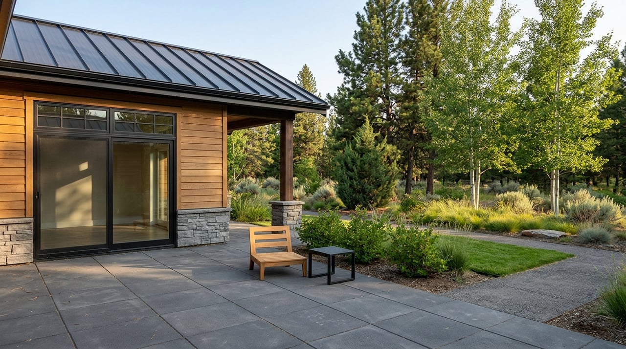
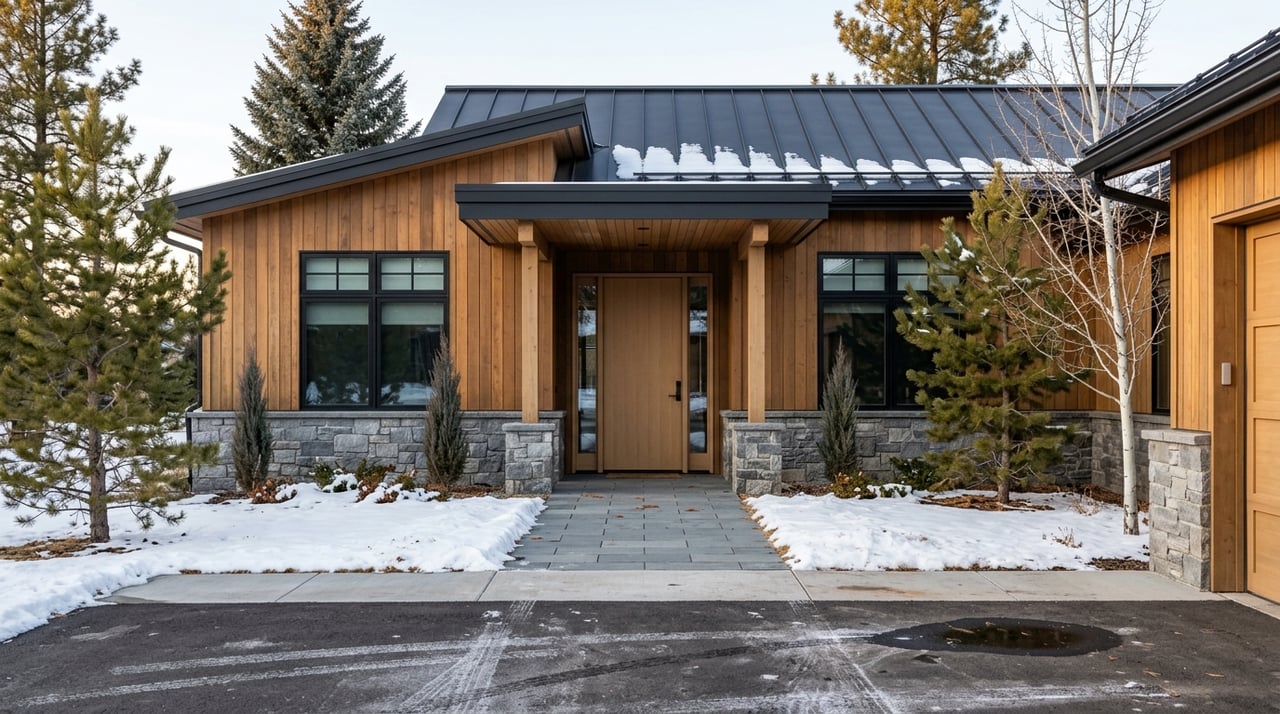
Understand lot size, topography, and buildability
Listings often state acreage with “+/-” to signal an estimate. Verify the exact recorded size in the county parcel map and plat. Language like “sloped,” “buildable bench,” or “views of the Bridger Range” is more than marketing. It hints at grading needs and foundation type. Steep slopes and building envelopes shown on plats can set where you place a house and driveway. Always confirm setback requirements on the plat and with City of Bozeman planning if inside city limits.
Utilities: city service vs well and septic
Inside Bozeman city limits, many homes are on public water and sewer. In rural parts of Gallatin County, it is common to see private wells and septic systems.
- What to verify: Confirm water and sewer service with City of Bozeman Utilities if the listing states public service. If the property is on a septic system, check permit records with Gallatin County Environmental Health. For wells, look up registered well logs with the Montana Department of Natural Resources & Conservation.
- Why it matters: Lenders and insurers evaluate utility type. Septic and well details affect inspections, future expansion, and cost of ownership. Connection availability and capacity can shape new construction and remodel plans.
CCRs, HOAs, and architectural control
You will often see “subject to covenants” or “CCRs recorded.” Many subdivisions in the valley have recorded covenants that address exterior materials, roof types, parking, minimum square footage, landscaping, animal rules, architectural review steps, and short-term rental restrictions.
- What to verify: Pull the recorded CCRs from the County Clerk & Recorder using the document number. Request the HOA bylaws, budgets, reserves, and architectural guidelines from the listing agent.
- Why it matters: Covenants can limit additions, accessory buildings, and design choices. HOA budgets and reserves can signal the risk of future special assessments and can influence insurance.
Easements, irrigation, and rights-of-way
Local listings commonly note “utility easement along south property line,” “20’ ROW,” or “irrigation easement.” Irrigation ditches are common across the Gallatin Valley and may cross or border private parcels. Water rights for irrigation are separate property interests.
- What to verify: Review the recorded easement documents with the County Clerk & Recorder and use the Gallatin County GIS parcel map to locate easements relative to the building area. For irrigation rights, confirm details with the Montana DNRC water-rights database.
- Why it matters: Easements can affect where you build, how you access a site, and how you maintain ditches. Water rights may or may not transfer and should be confirmed early in due diligence.
Floodplain and stream setbacks
If a listing mentions “flood plain” or a specific flood zone like AE, verify it. Parcels near the Gallatin River, East Gallatin River, or irrigation features may sit within mapped flood areas.
- What to verify: Use the FEMA Map Service Center to check the flood zone designation. City and County also require setbacks from streams and ditches. Confirm applicable setbacks before you plan improvements.
- Why it matters: Floodplain affects insurability, lender requirements, building placement, and long-term risk.
Wildfire and hillside risk
In the Bridger foothills and other treed or steep areas, you may see “wildfire risk area,” “brushy,” or “steep.” Building codes and mitigation guidance can apply.
- What to verify: Ask about local wildfire overlays and consult City or County planning on hillside standards and mitigation expectations.
- Why it matters: Defensible space, materials, and slope can influence insurance, cost, and permit timing.
Roads, access, and city acceptance
Pay attention to phrases like “private road,” “maintained by HOA,” “county-maintained,” or “seasonal access.” In new phases, you may see notes that streets are not yet accepted by the City of Bozeman.
- What to verify: Check the recorded plat and HOA docs for road maintenance responsibility and winter plowing. Confirm with City or County roads if acceptance is pending.
- Why it matters: Private roads and unaccepted infrastructure can mean owner or developer maintenance and potential future assessments.
Read the remarks like a pro
MLS remarks and agent notes are helpful prompts to verify facts, not warranties. Watch for these flags and follow up with records:
- “As-is” means the seller is not promising repairs, but you still have the right to inspections.
- “Subject to covenants” means CCRs exist. Pull the recorded document.
- “Not yet accepted by City” signals potential maintenance or assessment risk.
- “Seasonal access” can affect year-round use and financing.
- Building type notes like “PUD,” “MFG,” “fin bsmt,” or “walkout” suggest different construction, valuation, or appraisal implications.
Marketing names vs legal plat names
Developers often brand neighborhoods with marketing names that differ from the legal plat name. The legal description in the listing or on the plat is what you should use for any official search. If a listing reads “Bridger View Estates” but the legal description says “Lot 4, Block B, Wilson Subdivision,” use the latter when you pull documents. This avoids missing the correct CCRs or plat notes.
Two quick examples and what to do
Example 1: “Lot 4, Block B, subject to CCRs recorded at Doc #2009-12345; private road, HOA maintains.”
- What to do: Use the parcel ID or legal description to find the lot in the county parcel viewer. Grab the document number and pull the recorded CCRs from the Clerk & Recorder. Review the plat for a private road notation and any road maintenance agreement. Request HOA financials to confirm plowing and reserves.
Example 2: “2.1 acres +/- adjacent to ditch; water: private well; sewer: septic; flood zone AE.”
- What to do: Verify exact acreage in the county GIS. Pull well information from the DNRC and septic permits from Gallatin County Environmental Health. Check the FEMA Map Service Center for the AE flood zone boundaries and confirm required setbacks from the ditch.
10-minute listing scan checklist
Use this quick checklist every time you open a Bozeman-area listing:
- Legal description and Tax ID present? If missing, request immediately.
- Utilities shown for water and sewer? Public vs private confirmed.
- CCRs or HOA noted? Grab the document number and request HOA bylaws and budgets.
- Road language present? Private road, HOA maintained, county maintained, or seasonal access.
- Floodplain or riparian clues? Any river, stream, or ditch adjacency noted.
- Easements mentioned? Utility, irrigation, or access rights-of-way to map.
- Disclosure notes? As-is, seller disclosures attached, inspection options.
- Zoning or use hints? Minimum square footage or architectural rules.
- Any recorded instrument numbers listed? Save them to pull plats and CCRs.
- Building terms like fin bsmt, walkout, MFG, or PUD? Note for valuation and lending.
Next steps for serious buyers
If a home or lot looks right, request the recorded CCRs, the plat, and any seller disclosures as early as possible. Line up inspections tailored to local risks: septic and well evaluations, radon testing, roof and foundation checks, and wildfire defensibility where applicable. If you are near streams or ditches, review floodplain and setback rules before you plan improvements. Confirm road maintenance, utility capacity, and any city acceptance items. Finally, talk with your lender and insurer early if the property has private road access, floodplain exposure, or hillside conditions.
You do not have to navigate all of this alone. With one point of contact and MLS-synced tools, you can move fast and stay accurate. If you want a local advocate who pulls the right records, interprets the fine print, and coordinates inspections end to end, connect with Bozeman Realty.
FAQs
What do CCRs and HOAs mean in Bozeman listings?
- CCRs are recorded neighborhood rules that can guide design, parking, landscaping, and use, while an HOA enforces those rules and manages shared expenses, so you should review both before you buy.
How do I confirm if a property is in a flood zone?
- Check the parcel in the FEMA Map Service Center and review city or county floodplain maps, then confirm setback rules and insurance implications with your insurer and local planning.
What is the difference between city utilities and well or septic?
- City water and sewer are municipal services with connection and usage rules, while private wells and septic systems require permits, maintenance, and specific inspections that affect financing.
How can I verify road maintenance and winter plowing?
- Read the recorded plat and any road maintenance agreement, request HOA documents if applicable, and confirm current practice with the city, county, or HOA for clarity on who plows and pays.
Do irrigation rights transfer with a Gallatin County property?
- Not automatically, because irrigation rights are separate property interests, so you should confirm the water right details and transfer method in the Montana DNRC records and the purchase documents.
Are short-term rentals allowed in Bozeman neighborhoods?
- It depends on city zoning and neighborhood CCRs, so verify the City of Bozeman short-term rental rules and check the recorded covenants and HOA policies before you plan to operate one.